October 1, 2023
Pages 39
Whole Number 7
COVER PAGE of the Quarterly,
Whole No. 7, September, 1954
| "Original Map of the District of West Augusta and counties of OHIO, Yohogania and Monongalia" and apparently added in handwriting by the editor of the Sparks Quarterly appears "TIME OF REV. WAR (1770’s) (PRESENT-DAY BOUNDARIES ARE ALSO SHOWN."] |
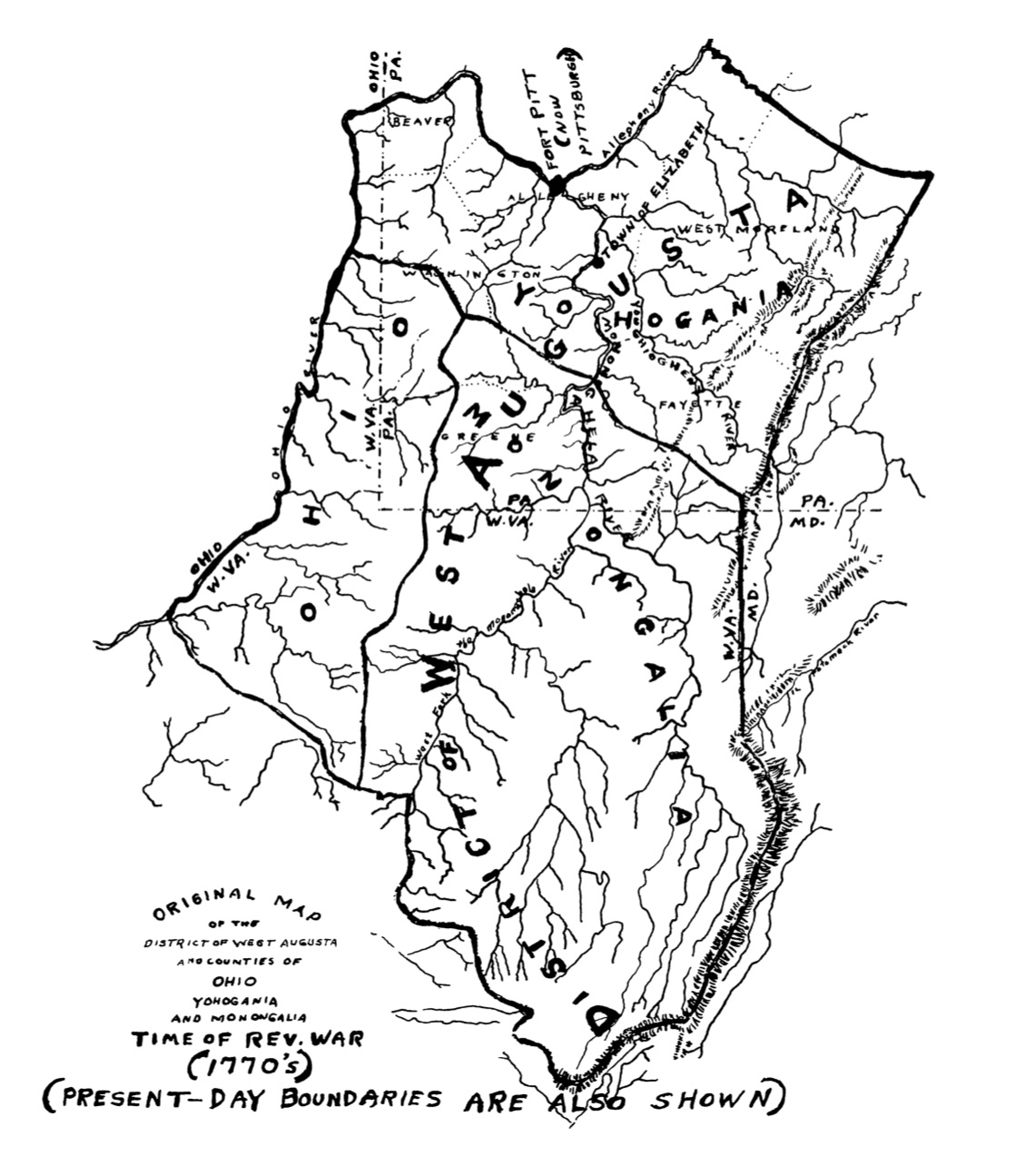 |
| Partial Map of Pennsylvania and the Ohio River - 1770 |
|---|
| The map used as the illustration for the cover of this issue of the Quarterly was prepared by William Perry Johnson to accompany the Revolutionary War pension application of James Sparks. Showing present-day boundaries as well as those of the 1770’s, this map gives the general location of James Sparks’s place of residence at the time he joined the Revolutionary forces. Following the war he continued to live "near where Elizabethtown now is" until ca. 1782. |